WMO Warns Strong El Niño Could Bring Severe Pacific Weather Disruption
The WMO's warning about a powerful El Niño
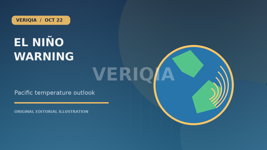
The World Meteorological Organization has warned that the current El Niño could become exceptionally strong, raising the risk of disruptive weather across several regions. Reuters reported on October 21 that central Pacific ocean temperatures might reach roughly 3.8°C above normal during the coming months under a severe scenario. This is a forecast, not an observed peak that has already occurred. El Niño refers to a recurring climate pattern involving unusually warm water in the tropical Pacific and changes in atmospheric circulation. Its effects are widespread but not identical in every country, making local forecasts essential for planning.
What the temperature anomaly means
An anomaly compares current or expected sea-surface temperatures with a long-term average for the same region and season. It does not mean the entire Pacific Ocean is 3.8°C warmer, nor that air temperatures everywhere will rise by that amount. Scientists use different indices and averaging periods to monitor the strength of El Niño. The central Pacific can influence rainfall and wind patterns far away through changes in atmospheric circulation. A large anomaly increases concern, but the relationship between ocean temperatures and specific local weather events is not exact. Forecasts are updated as new observations become available.
Why agriculture is vulnerable
Rainfall changes can disrupt planting seasons, irrigation supplies and harvest timing. Some regions may face drought while others receive unusually heavy rain, and the effects depend on crop type, soil conditions and existing water storage. Farmers make decisions months before harvest, so early warnings can help them choose varieties, adjust planting dates or prepare alternative water sources. Those decisions carry costs and may not be possible for smallholders with limited access to credit. Food-price effects also depend on trade, reserves and government policy. A strong El Niño is therefore a risk factor for agriculture, not a guarantee of crop failure everywhere.
Flooding and drought can happen at the same time
El Niño shifts patterns of tropical rainfall rather than simply making the world uniformly hotter or drier. Parts of Southeast Asia, southern Africa and Latin America may experience different outcomes depending on season and geography. Heavy rain can trigger landslides and contaminate drinking water, while drought can reduce hydropower output and increase wildfire risk. Communities need hazard-specific plans rather than a single generic response. A forecast of above-normal rain should be interpreted with local terrain and drainage in mind. Likewise, drought preparation depends on reservoirs, groundwater and how water is shared among households, farms and industry.
The relationship with global warming
El Niño is a natural climate oscillation that existed before modern industrial warming. Human-caused climate change, however, raises the baseline temperatures on which natural variability operates and can intensify certain extremes. It is therefore misleading to say that climate change directly creates every El Niño event or that the two processes are unrelated. Researchers examine how warming influences rainfall intensity, heat stress and the consequences of ocean temperature changes. The WMO warning is especially important because communities are already coping with rising average temperatures. Adaptation planning must account for both short-term variability and longer-term climate trends.
Health and humanitarian consequences
Drought can undermine food security, while floods can damage sanitation systems and increase exposure to waterborne illness. Extreme heat creates additional risks for outdoor workers and people without reliable cooling. International agencies have warned that tens of millions could face greater humanitarian needs if severe weather affects vulnerable regions. Such figures describe scenarios or populations at risk, not confirmed future casualty totals. Effective preparation includes early-warning systems, accessible shelters, medical supplies and support for households whose livelihoods depend on climate-sensitive activities. The distribution of resources can be as important as the accuracy of a forecast.
What governments can do before the peak
Water managers can review reservoir operations, cities can inspect drainage systems and emergency agencies can prepare evacuation routes. Agricultural services can share seasonal guidance and monitor crop stress. Governments also need to communicate uncertainty honestly: a forecast may show increased probability without identifying the exact day a flood or drought will occur. Communities are more likely to act when warnings include practical steps and are delivered in languages people understand. Regional cooperation can help with river basins, food supplies and disaster response. Preparedness is not a prediction of catastrophe; it is a way to reduce losses if the forecast risk materialises.
What to watch through the coming months
Key updates will include official sea-surface temperature indices, WMO seasonal outlooks and national meteorological forecasts. The timing and duration of the event matter because agriculture and water demand change with the seasons. A strong anomaly may eventually weaken, and local impacts can differ from global expectations. The October 21 warning deserves attention because it describes a potentially exceptional climate pattern, but it should not be converted into a certain claim about weather in a particular town. Reliable coverage will track observed conditions separately from projections and explain what each new forecast changes for communities.
How to use a seasonal forecast responsibly
A seasonal outlook is most useful when combined with local historical data and a clear understanding of uncertainty. A farmer may use it to review planting options, while a city might inspect flood defences or plan water conservation. Neither should assume the forecast guarantees a particular event. Meteorological agencies often express probabilities because several weather patterns can influence a region at once. Decision-makers can prepare for a range of outcomes rather than betting everything on one scenario. That approach is especially valuable when the cost of early preparation is modest compared with the potential loss from an extreme event. The WMO warning should prompt planning, not certainty about a future disaster.
Seasonal forecasts are revised as the ocean and atmosphere evolve. A strong event can peak earlier or later than initially expected, and its local consequences may differ from typical historical patterns. Emergency planners should therefore set dates for reviewing assumptions instead of treating one forecast as permanent. Repeated updates allow resources to be redirected if conditions change. This flexibility can prevent both under-preparation and costly overreaction.