El Niño 2026: How Strong Is It, When Could It Peak, and What Might Change?
El Niño is already active and strengthening in late 2026, and official climate outlooks expect it to remain strong through the coming months. NOAA’s Climate Prediction Center issued an El Niño Advisory on 8 October and said a strong-to-very-strong event was likely through January–March 2027. The World Meteorological Organization also expects El Niño to intensify toward a peak around December 2026.
That does not mean every place will become hotter, wetter or drier in the same way. El Niño is a large-scale shift in the tropical Pacific that changes the odds of certain weather patterns. Local outcomes still depend on season, geography and other climate drivers.
What is El Niño?
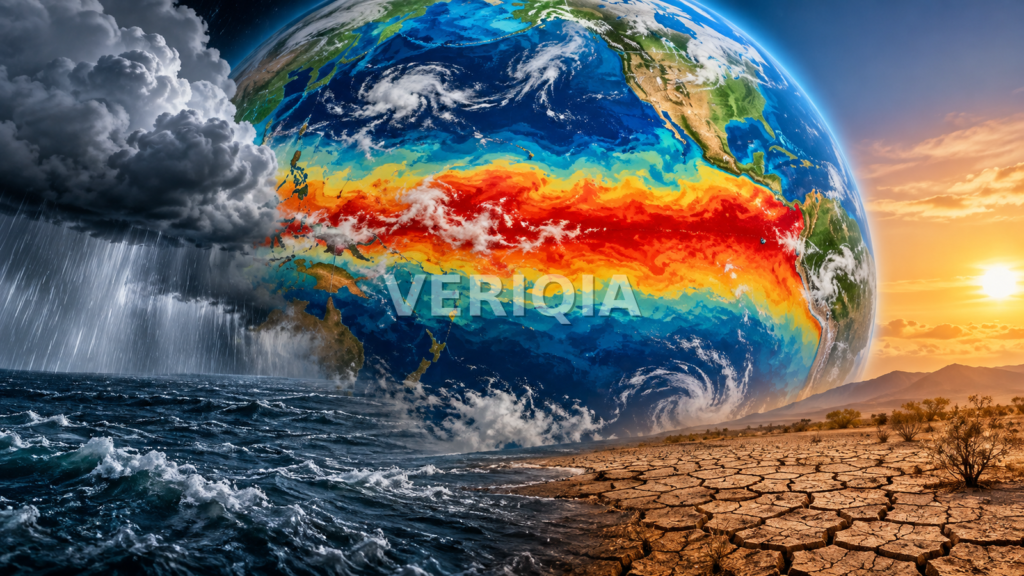
El Niño is the warm phase of the El Niño–Southern Oscillation, usually shortened to ENSO. During an El Niño event, sea-surface temperatures in the central and eastern tropical Pacific become warmer than normal and the atmosphere above the ocean changes with them.
Those ocean and atmospheric changes can alter jet streams, rainfall zones and storm tracks far beyond the Pacific. That is why El Niño can influence seasonal weather in many parts of the world even though the core of the event is thousands of kilometres away.
How strong is El Niño in October 2026?
NOAA’s October diagnostic discussion said the event strengthened sharply during the previous month. The Niño 3.4 index, one of the main measures used to monitor the central tropical Pacific, reached a very high positive anomaly. NOAA’s official probability outlook showed El Niño as overwhelmingly favored through the Northern Hemisphere winter before the chance of neutral conditions rises later in 2027.
The WMO’s October seasonal update also described a further intensification toward stronger El Niño conditions during October–December 2026, with a projected peak late in the year.
The exact strength can still change. Forecasts are updated because the ocean and atmosphere are dynamic, and the probability of different ENSO phases changes as new observations arrive.
When could El Niño peak?
Current official guidance points to a peak around December 2026, with very strong conditions likely to persist into the early part of 2027. Experimental NOAA modelling also suggests the event may begin weakening later in winter, with a possible transition toward neutral conditions in spring or early summer.
Peak ocean temperatures and peak weather impacts do not always happen at exactly the same time. Some regional effects can lag behind the tropical Pacific signal.
What could El Niño change around the world?
El Niño changes probabilities rather than creating a single worldwide weather pattern. Common effects can include shifts in rainfall, drought risk, storm tracks and temperature patterns.
Examples of the kinds of changes forecasters watch for include:
- heavier rain in some regions, increasing flood or landslide risk;
- drier conditions elsewhere, raising drought, water-supply or wildfire concerns;
- warmer seasonal temperatures across large areas of the globe;
- changes in tropical cyclone activity that differ by ocean basin; and
- effects on agriculture, energy demand and food supply when rainfall or heat shifts away from normal patterns.
For broader climate context, VERIQIA previously covered a WMO report on Asia’s heat and ocean temperatures. That background is useful because El Niño acts on top of a climate system that is already unusually warm.
Does El Niño cause every flood or drought?
No. A single flood, heatwave or drought should not automatically be blamed on El Niño. Weather events usually result from multiple factors, including local atmospheric patterns, soil moisture, topography and short-term storm systems.
El Niño is better understood as a background influence that can tilt the odds. For example, if a region enters a season with conditions that favor heavier rain, El Niño may strengthen that tendency. But it is not a simple one-to-one cause.
That distinction matters when reading headlines about extreme weather. VERIQIA’s report on flood recovery after exceptional late-season rain in Uttar Pradesh is an example of a local event that needs its own meteorological explanation rather than a broad label.
What should households and travellers watch?
You do not need to become a climate scientist to use an El Niño outlook. The practical value is in planning for seasonal risk.
- Check your national meteorological service for local seasonal forecasts.
- If you live in a flood-prone area, review drainage, insurance and emergency routes before the wettest part of the season.
- In drought-prone areas, follow water restrictions and wildfire guidance early rather than waiting for conditions to become severe.
- Travellers should monitor regional weather close to departure, because a global El Niño headline cannot tell you whether a specific city will be wet or dry on a specific day.
- Farmers and businesses that depend on rainfall should use local agricultural or sector forecasts rather than broad global averages.
What happens after the peak?
Even after El Niño begins to weaken, its effects can continue for months. The tropical Pacific may take time to return toward normal, and seasonal weather patterns can remain influenced by the event.
Forecast confidence also usually falls as predictions extend farther into spring and summer. That is why official outlooks are expressed as probabilities and are updated every month.
The bottom line
El Niño 2026 is not a future possibility anymore; it is an active and strengthening climate event. Current guidance points to a very strong peak around the end of 2026 and continued influence into early 2027. The most useful response is not to assume one universal outcome, but to combine the global ENSO outlook with local seasonal forecasts for the place that matters to you.